Hurricane Erin isn’t coming ashore … yet, but don’t mistake “offshore” for safe.
After exploding into a Category 5 monster, Erin is tearing through the Atlantic with winds strong enough to shred buildings and seas violent enough to pull people off coastlines.
The U.S. may dodge a direct landfall, but the danger is real: flooding, rip currents, and erosion are already in play. Here’s what you need to know.
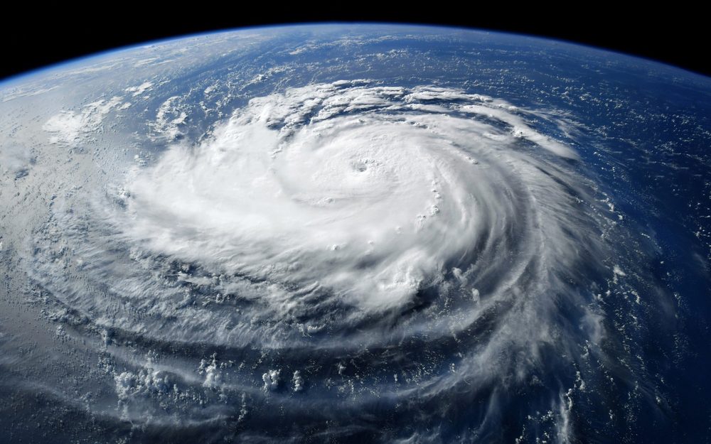
From Zero to Monster
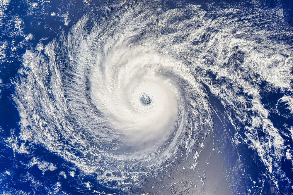
Erin went from a Category 1 to a Category 5 beast (160 mph) in just 24 hours — one of the fastest intensifications ever recorded.
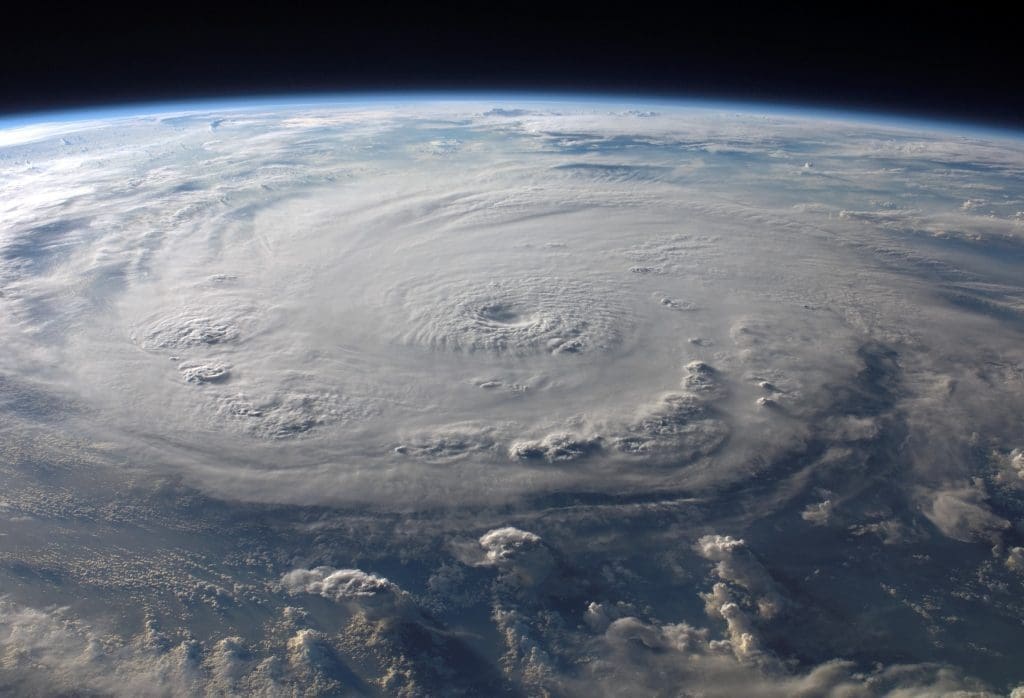
Where It Stands Now
As of August 18, Erin has eased but is still a large hurricane with winds topping 130–140 mph.
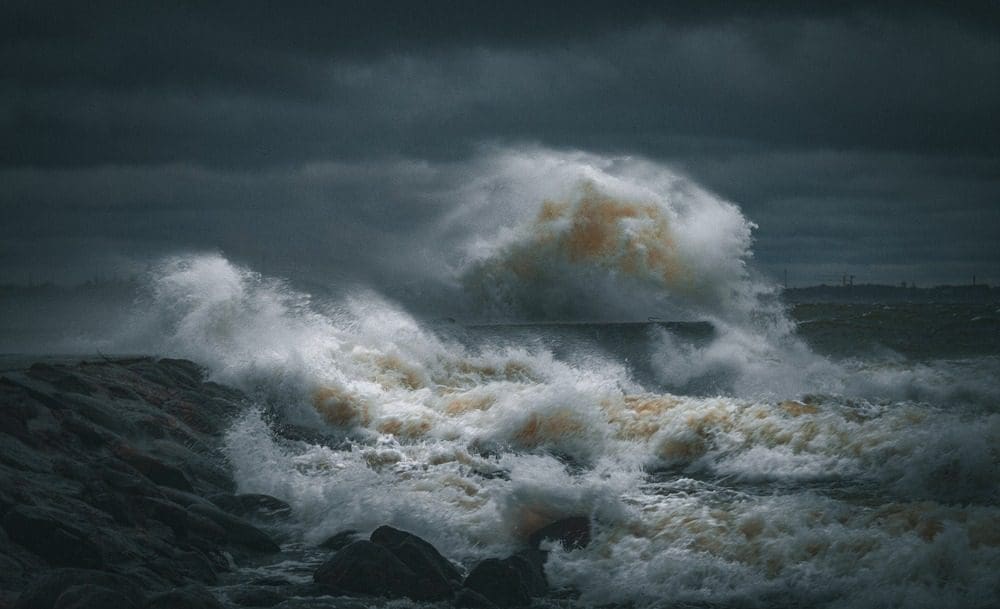
Not a Direct Hit — But Dangerous
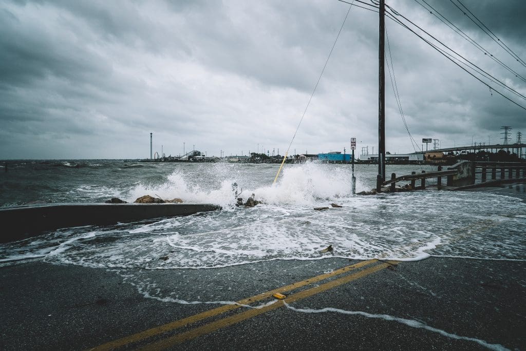
The storm is tracking offshore of the East Coast. That doesn’t mean safe — expect life-threatening surf, rip currents, and coastal erosion from the Outer Banks to Bermuda.
Caribbean Already Hit
Turks and Caicos, Puerto Rico, and the Virgin Islands have already taken heavy rain, flooding, and outages. Southeast Bahamas are under the gun.
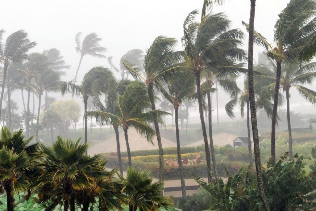
Outer Banks Alert
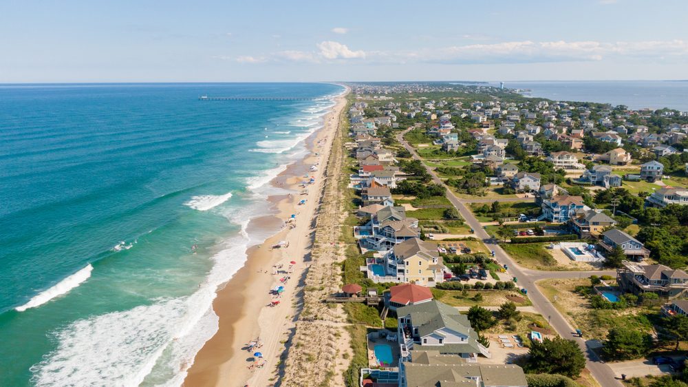
North Carolina’s barrier islands are staring down dangerous seas and flooding potential even without landfall.
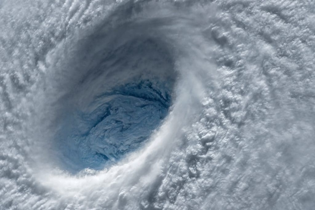
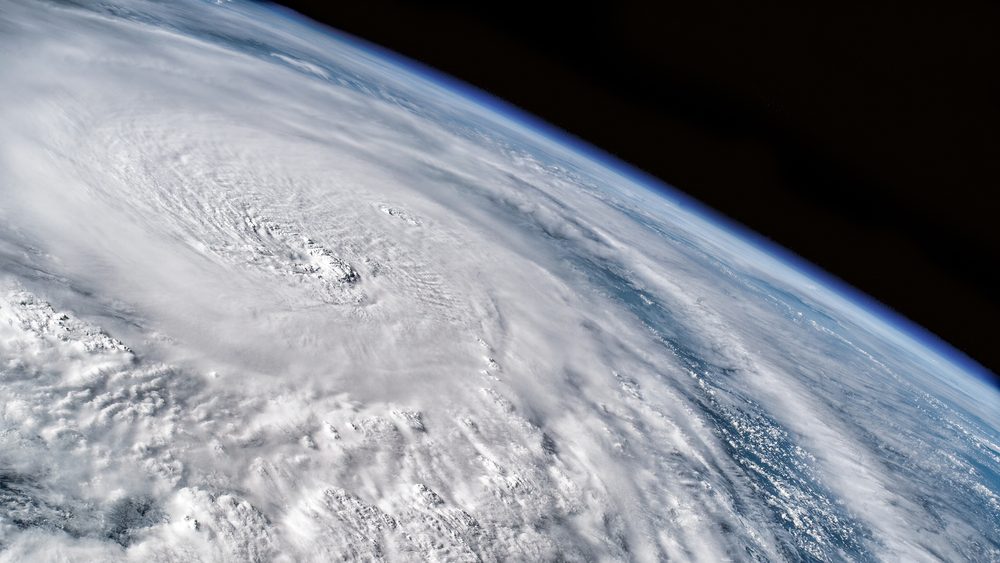
Eye on the Eyewall
Erin’s in an eyewall replacement cycle — meaning brief weakening now, but the potential to power back up later this week.
Cape Verde’s Toll

The storm’s precursor system dumped rain over Cape Verde on Aug 11, killing nine, displacing more than 1,500, and leaving a trail of flood damage.
First of the Season
Erin is 2025’s first named storm and hurricane — a brutal opening to the season.
Models Line Up
Forecast tracks agree: no U.S. landfall. Still, surf and flood risks will ripple far beyond the cone.
Why It Matters
Even offshore, Erin could be a killer. Its surge, waves, and winds threaten lives and coastlines — proof that “not hitting land” doesn’t mean “no danger.”