
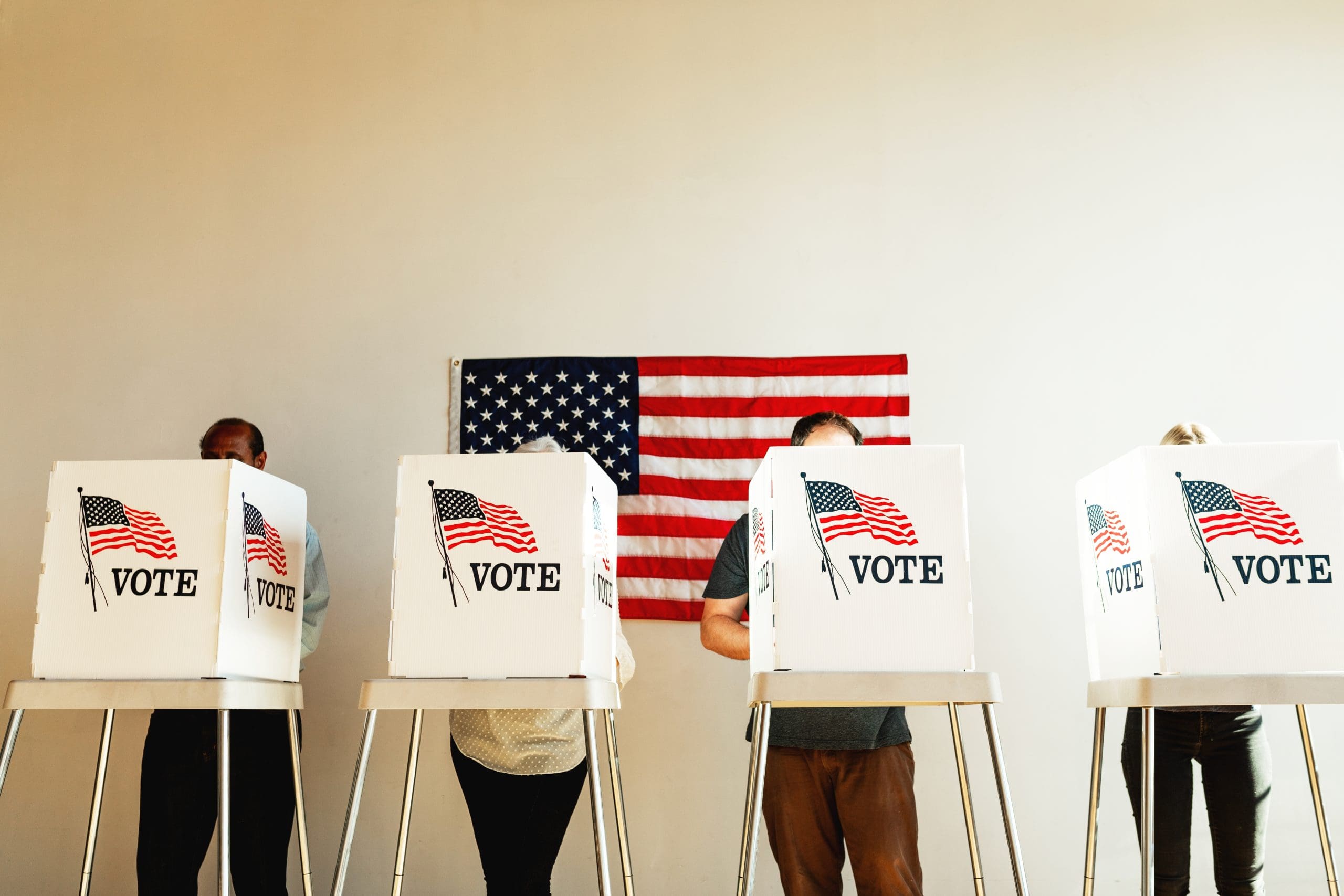
Every 10 years, new political maps decide who represents you, sometimes determining whether your vote really matters. Texas and Ohio, however, has turned that norm on its head, moving to redraw maps in the middle of the decade. Now blue states are ready to retaliate.
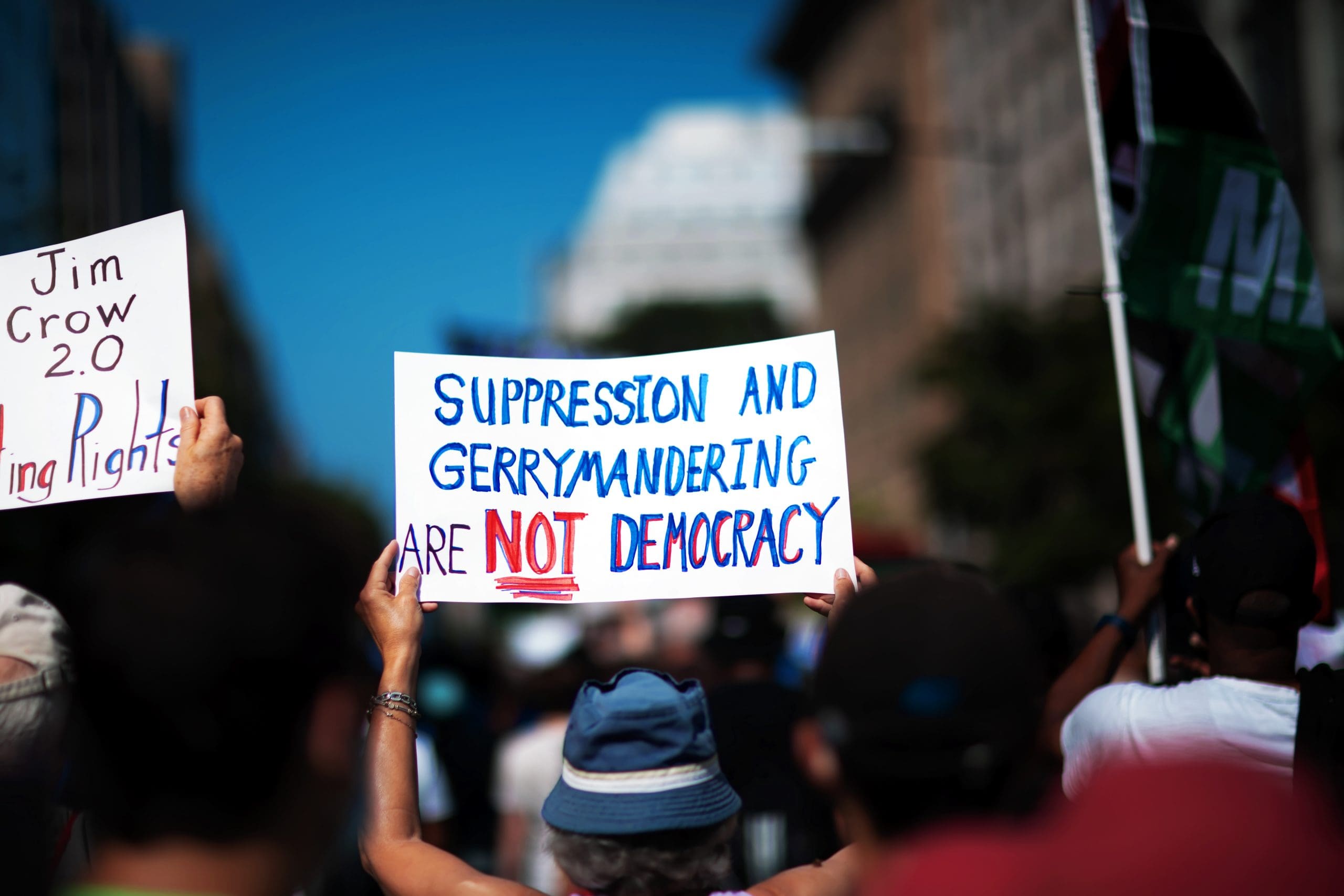
Gerrymandering is the practice of drawing those districts to cement power: rewarding allies, punishing opponents, and baking in outcomes before a single ballot is cast.
Here’s what it is, how it works, what states are likely to gerrymander next, and what could actually fix it.
What Is Gerrymandering?
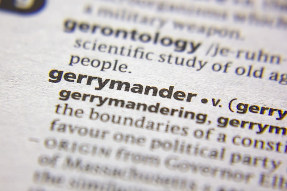
Gerrymandering is the manipulation of electoral district boundaries to advantage one party or group. It can happen in congressional maps, state legislatures, and even local councils. The aim is simple: maximize seats for the map-drawers while minimizing competition.
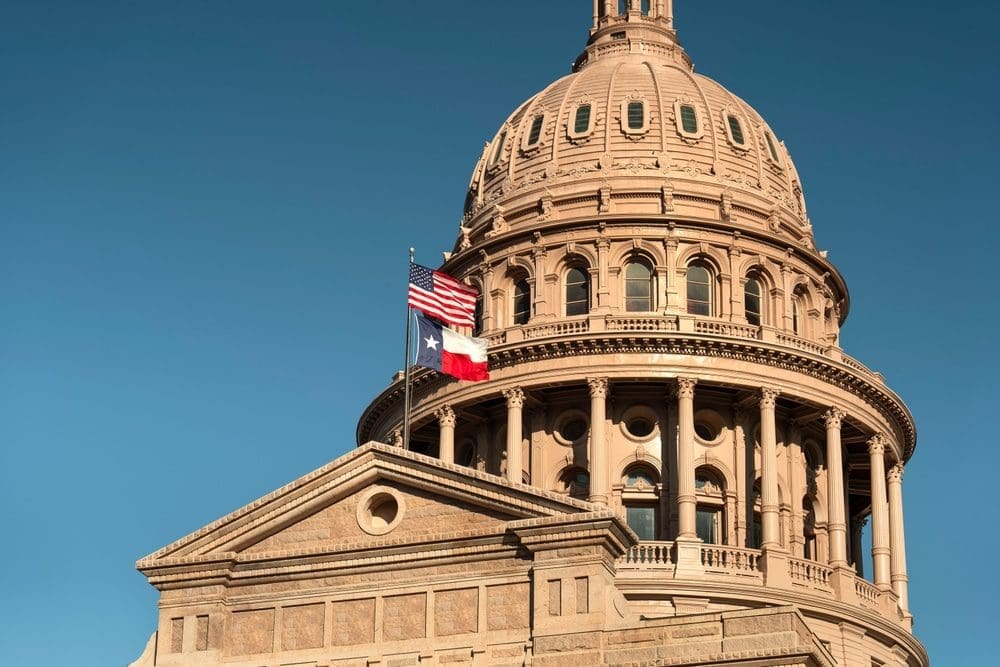
What’s Happening Now: Texas & the 2025 Redistricting Wars
Texas is in a mid-decade fight over congressional lines. Republicans are advancing a redraw aimed at netting up to five additional U.S. House seats before the 2026 midterms, while Democrats have fled the state to deny a quorum, prompting civil arrest warrants, courtroom skirmishes, and talk of retaliatory redistricting in blue states.
There’s actually a 13% chance that at least on Texas Democrat will be arrested this month, as users trade real money on the outcome on Kalshi.
What states will redistrict next?

According to the prediction market Kalshi, a handful of states are next in line to buck the normal wait and redraw ahead of upcoming congressional elections.
Here are the forecasts:
- Ohio: 93%
- Texas: 86%
- Missouri: 62%
- California: 51%
- Maryland: 31%
- Louisiana: 21%
- Georgia: 20%
- New York: 18%
- New Jersey: 14%
- Minnesota: 11%
- Washington: 7%
- South Carolina 20%
The Two Classic Tactics
Packing: Cram as many opposing voters as possible into a few districts they’ll win by huge margins, “wasting” excess votes.
Cracking: Split opposing voters across many districts so they’re outnumbered everywhere—diluting their power.
Why It Works

Most elections are decided by district lines plus turnout. If you control the map, you can turn a narrow statewide edge, or even a minority of total votes, into a large majority of seats by arranging voters just so.
How to Spot It (Fast)

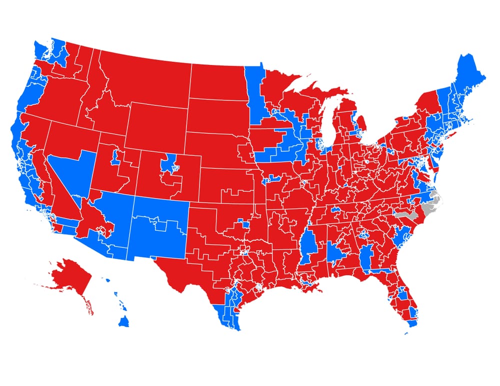
- Weird shapes: Not definitive, but serpentine or “Swiss-cheese” districts can signal strategic carving.
- Landslides + squeakers: Opponents win a few districts by 30–50 points (packed) while map-drawers win many by 5–10 (efficient).
- Seat share vs. vote share: If a party consistently wins far more seats than its statewide vote share, that’s a red flag.
The Metrics People Use
- Efficiency Gap: Estimates how many votes each side “wastes” and compares the imbalance.
- Partisan Bias / Symmetry: Tests whether maps treat parties similarly at the same vote share.
- Mean–Median Difference: Compares a party’s average district vote to its median district vote to detect skew.
Is Gerrymandering Legal?

Partisan gerrymandering: Federal courts won’t police it as a general matter (Rucho v. Common Cause, 2019), pushing fights to state law and state courts.
Racial gerrymandering: Intentionally diluting voters based on race is illegal under the Constitution and the Voting Rights Act—though cases turn on evidence and circuit-specific rules.
State lines matter: Some states restrict partisan gerrymandering or require compactness/competitiveness. Others don’t.
Who Draws the Maps?
- State legislatures: Most states let lawmakers draw their own districts (and often Congress’s), usually with a governor’s veto.
- Independent commissions: Several states use bipartisan or citizen commissions to curb conflicts of interest.
- Courts / special masters: When processes break down—or maps are struck—courts can step in with remedial plans.
Real-World Effects
- Safer seats, fewer swing races: Engineered districts often make general elections less competitive.
- Polarization pressure: Safe seats shift the real contest to primaries, where smaller, more ideological electorates dominate.
- Policy lock-in: Entrenched majorities can pass (or block) laws with little fear of electoral backlash.
Common Misconceptions

- “Ugly shapes = illegal.” Not always; shape is a clue, not a verdict.
- “Both sides do it, so it cancels out.” Impact depends on which states hold the pen, and how aggressively maps are drawn.
- “Data fixes everything.” Metrics help, but fairness also depends on legal standards and political will.
What Could Fix It
- Independent or citizen commissions: Reduce direct lawmaker control over maps.
- Clear, enforceable state standards: Compactness, respect for communities of interest, competitiveness, and transparency rules.
- Public mapping + transparency: Open data, open hearings, and map submission portals so watchdogs can catch bad lines.
- Electoral system tweaks (harder lift): Multi-member districts with proportional methods reduce single-member incentives to gerrymander.
What Voters Can Do
- Track your state’s map cycle: Court-ordered redraws can pop up mid-decade.
- Show up and submit maps: Hearing testimony and community proposals can influence boundaries.
- Back reforms: Ballot initiatives and state constitutional changes drive most recent progress.